By Mrs Whomsley (Head of Year 5)
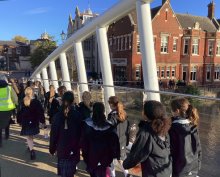
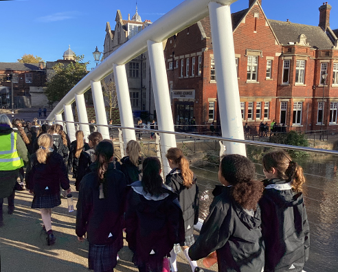
On Monday morning, Year 5 enjoyed a wonderful walk in the Autumn sunshine around the river and local area.
Whilst walking, the girls were encouraged to look around them to take notice of the landmarks they passed and the route that they took. When they returned to school, the girls were asked to draw a map of their route, which many discovered wasn’t as easy as they may have thought! Which bridges did we cross? What are the names of the roads we walked along? What landmarks did we pass? What was the distance between the bridges? Did I remember to include everything?!
Whilst it was a lovely way to start our week for our well-being, the purpose of the walk was to provoke our thinking about maps and the features of maps. We compared their individual maps to a more detailed, published map to prompt our thinking and compare what was missing from our map. We will continue our inquiry by comparing these to a range of other maps and create our own lines of inquiry into what skills we need to learn in order to understand maps and how maps have changed over time, as part of our new Unit of Inquiry Where We Are in Place and Time.


