By Mrs Page (Geography Teacher)
On Sunday 25th June, the morning marked the departure of all Year 10 geographers to Sheringham in North Norfolk.
The purpose of this trip was to engage in fieldwork, which would not only prepare the students for paper 3 of the GCSE exam but also develop their investigatory and data collecting skills.
On arrival at the YHA, we headed into Sheringham and found some shade beneath the sea wall to have our first classroom session of the day. Once briefed, students went off in groups to assess the environmental quality of 20 different sites within the central region of Sheringham and completed traffic counts. The students also practised collecting data using Survey 123, a GIS data collection app.
In the evening, the students began to write up their methodology and presented their data via a variety of graphs. After a long day in the ‘field’ they had achieved a lot.
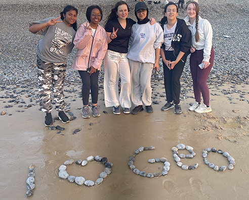
Monday 26th June brought a fresh focus for the students as they explored how Sheringham's coast has been managed, with a specific emphasis on measuring the impact of longshore drift. In the afternoon we walked up to the top of Beeston Bump to gain a lovely aerial view of the coastal management and erosion along the coastline. We were lucky to have a warm day so when the tide had receded in the evening we returned to the beach to do some fieldwork, look at the beautiful sunset and enjoy an ice cream treat.
On Tuesday 27th June, we arrived at Wells- next- the- Sea and walked to Holkham to look at the sand dunes and enjoy our lunch before returning to BGS.
Prisha Gavigowda (Year 10) reflected on the trip: “To sum up this trip, the only words I could find is magical, happiness and fun.Keep geoging”
View photos from the field trip here.


