November 19th 2021
Miss Forster (Year 5 Teacher)
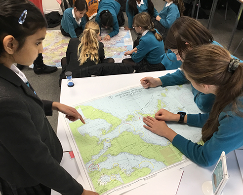
Classes 5PW and 5VF have been travelling globally along the lines of latitude and longitude to test their map reading skills.
The girls enjoyed making observations and comparisons between three different types of maps: land, sea and air. Many students had lots of questions such as: ‘why do the maps have different colours on them?’ and ‘why do only some maps show the depths of the sea and others don’t?’
The girls then went onto finding locations on the various different types of maps, using four and/or six-figure grid references to ensure they were being precise – An excellent job done by all.


