By Arielle Adams (Year 10)
On Tuesday (23rd February) Year 10-Upper Sixth students taking Geography attended a workshop on the Restless Earth – led by the British Cartographic Survey.
With the workshop based on the 2011 Japan Tsunami, we were introduced to the three geographers who were running it, who gave us an introduction on the uses and variability of geography.
We then moved on to the disasters that hit Japan in 2011. We were shown video clips and given information about the earthquake and the resulting tsunami that struck Japan. The volunteers running the workshop showed us the geology of the event, such as the shifting tectonic plates, which caused the natural disaster.
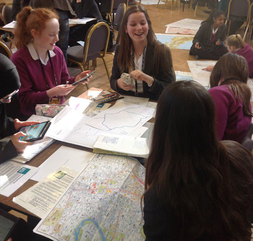
When we had been given this information we were put into small groups and began the interactive part of the workshop.
The task was to imagine we were part of the various aid teams sent to the city of Sendai and surrounding area, and create a map and plan of how we would provide disaster relief most effectively.
Within the groups we were each given the roles of humanitarian, military, medic, search and rescue and a coordinator. For each of our roles we had a different responsibility as to what we added to our map.
For example, as a medic I was in charge of locating all of the hospitals on the maps, and roads connecting them to disaster zones. We were given real maps – all in Japanese – of different scales to use to plot our own routes. By the end of the workshop we had a completed map that satisfied the criteria.
The workshop, though challenging, was really interesting. I know that everything I have learnt will be extremely useful when we come to study the tsunami in more depth later on.
The volunteers were extremely knowledgeable and happy to answer any of our questions, and were obviously passionate about Geography.


